|
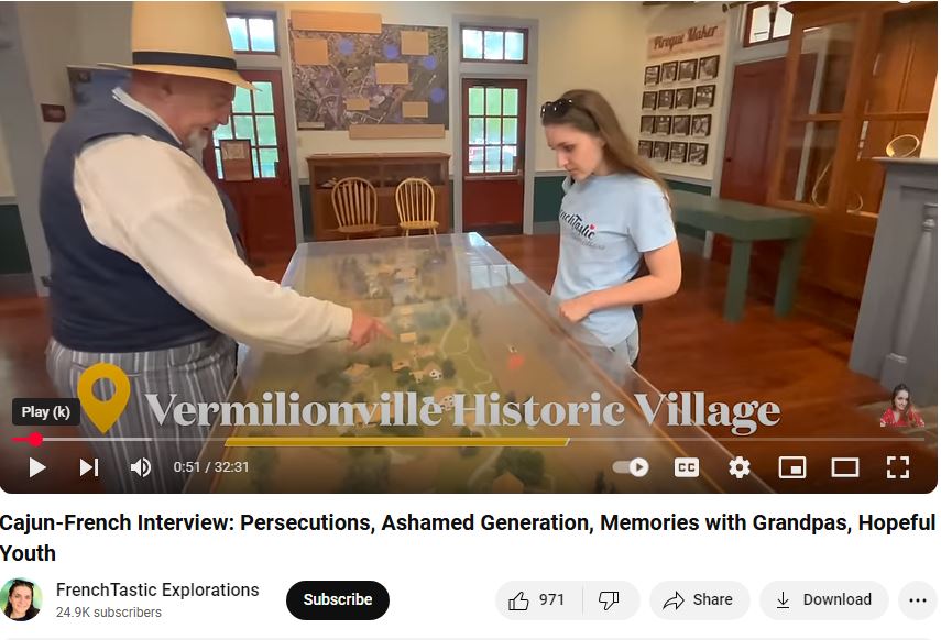
"Frenchtastic Explorations. (2025, January 11). "Cajun-French Interview: Persecutions, Ashamed Generation, Memories with Grandpas, Hopeful Youth. " https://www.youtube.com/watch?v=2L8ERx8BrfQ
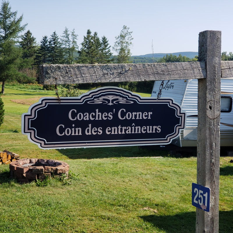
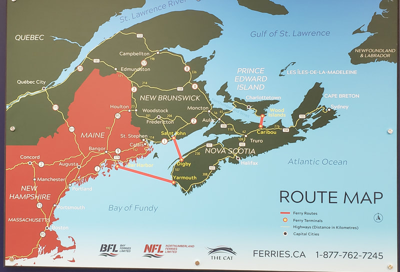
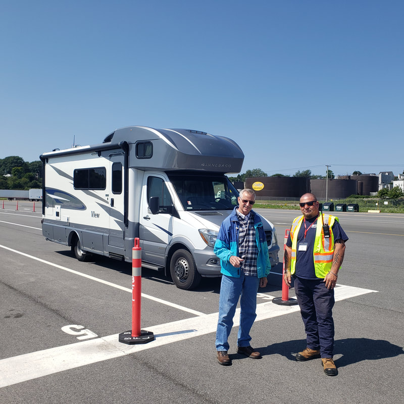
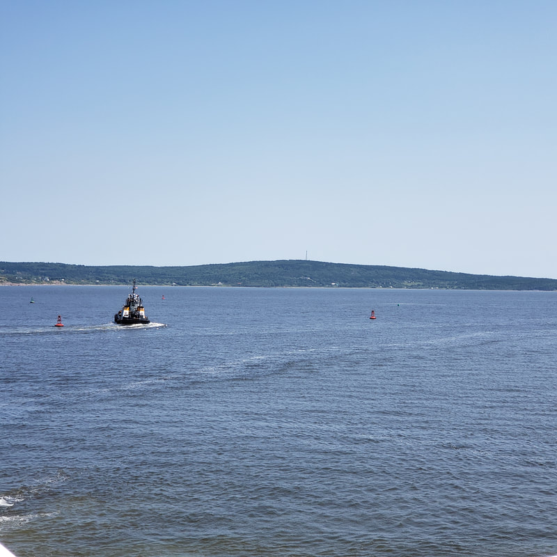
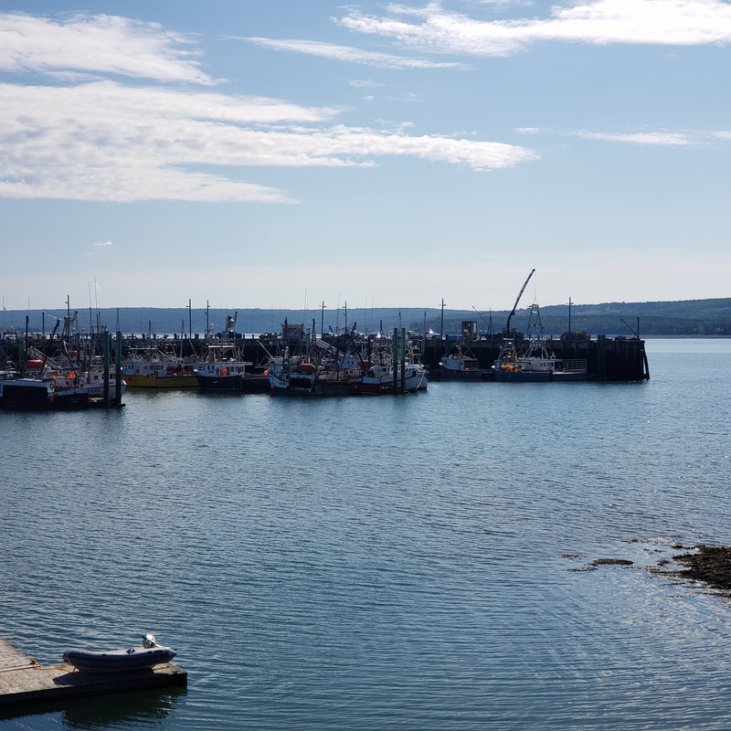
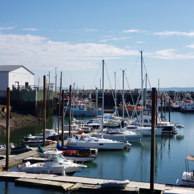
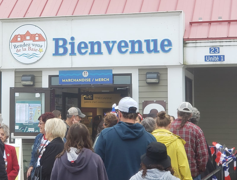
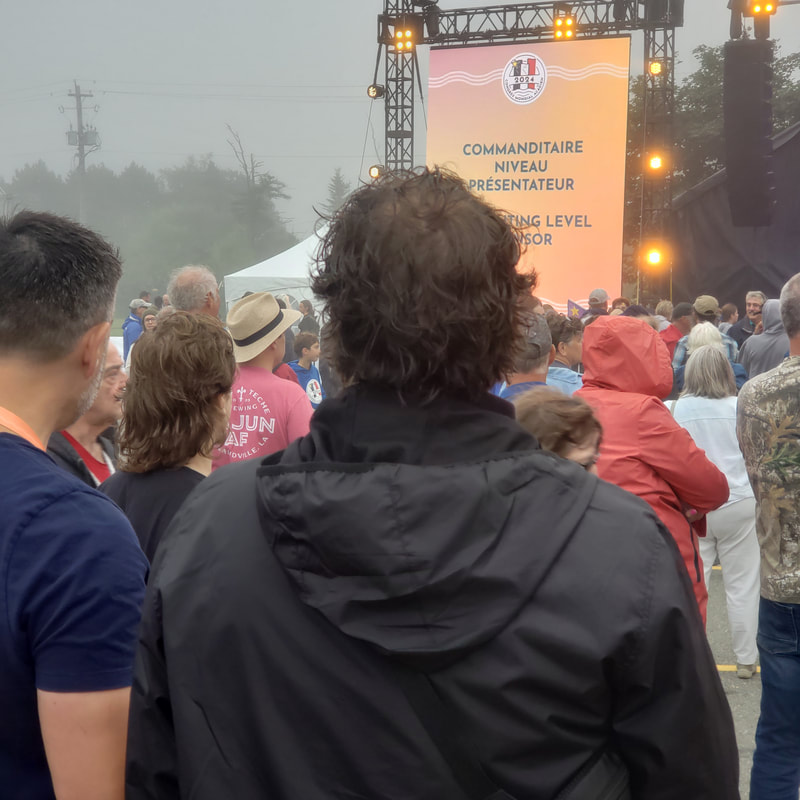
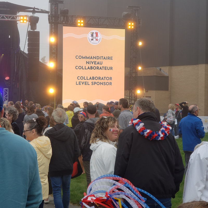
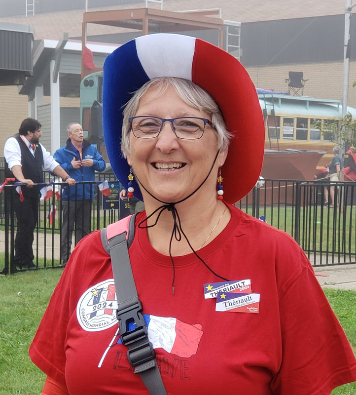
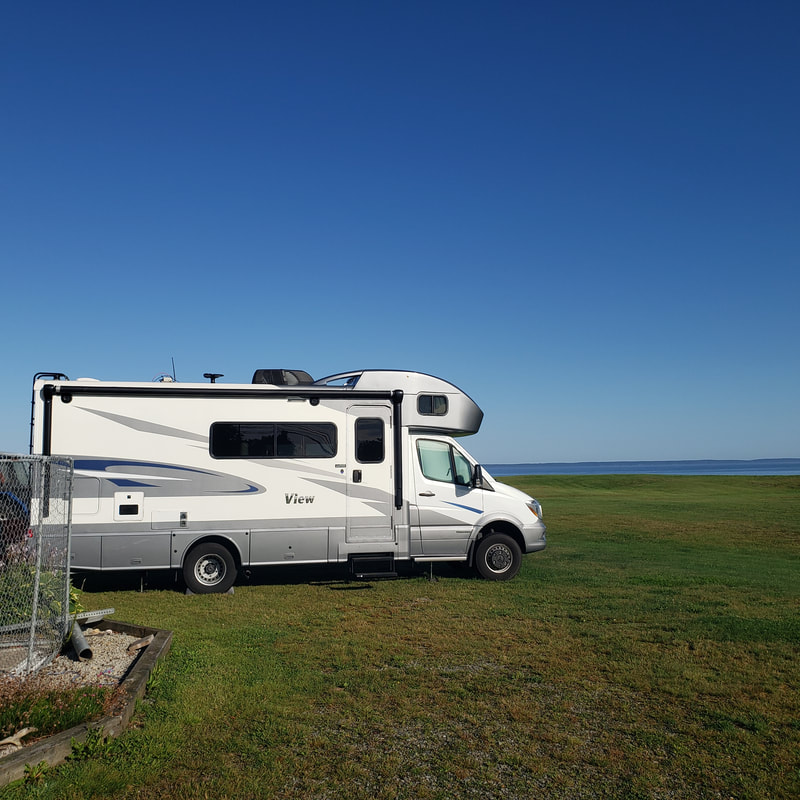
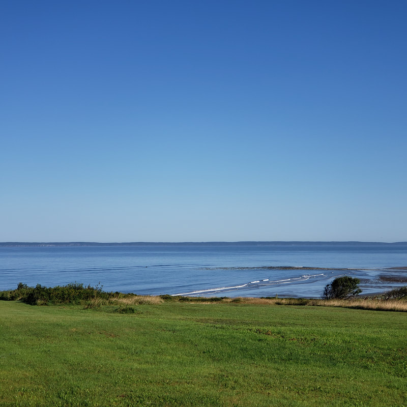
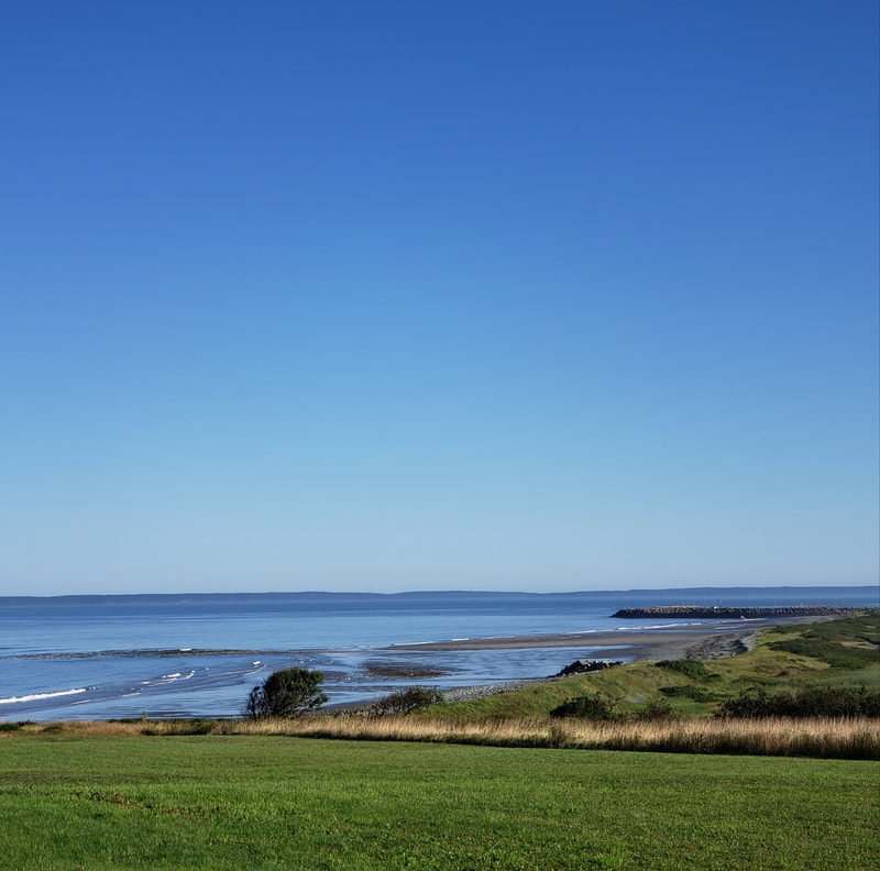
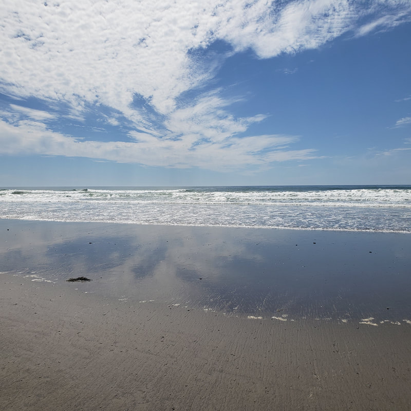
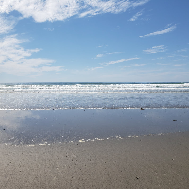
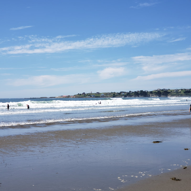
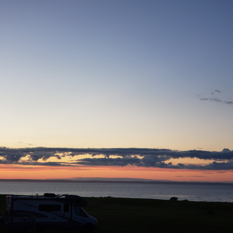
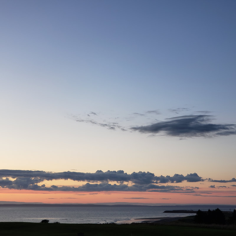
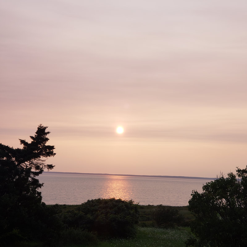
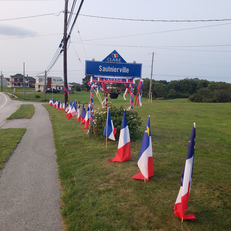
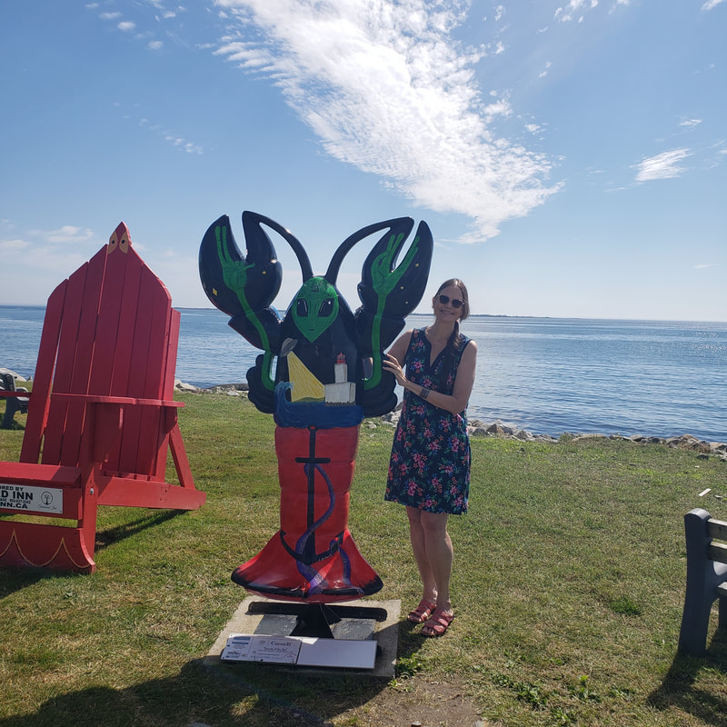
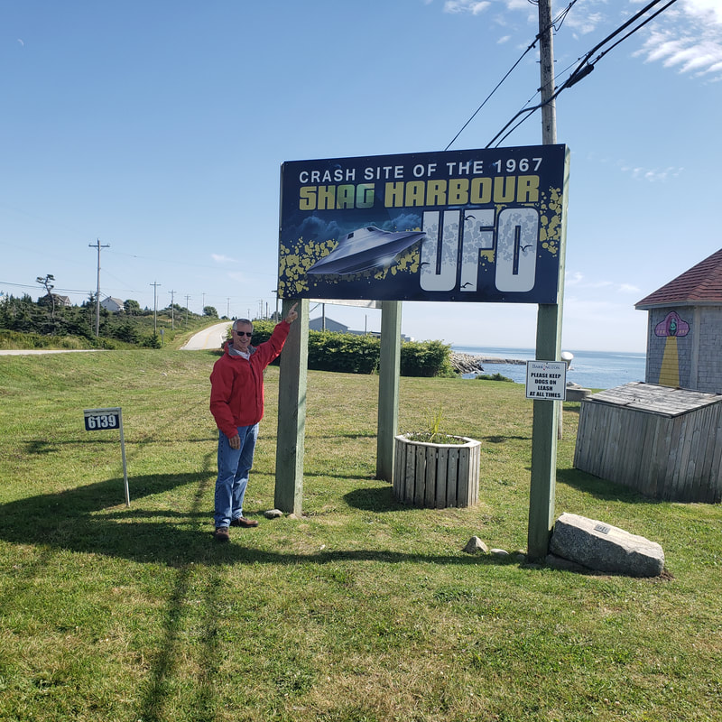
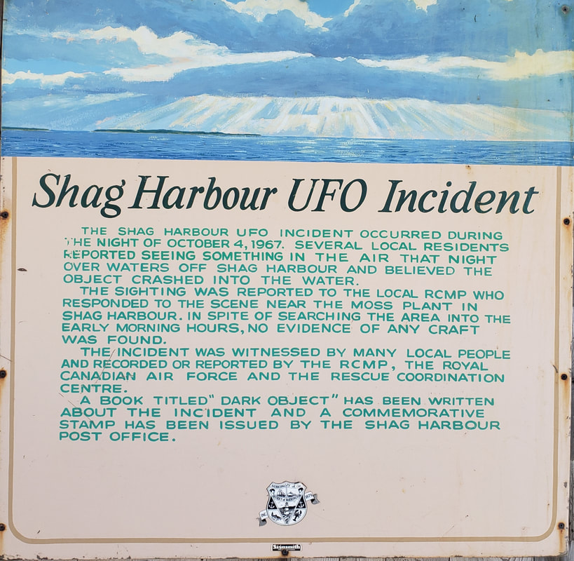
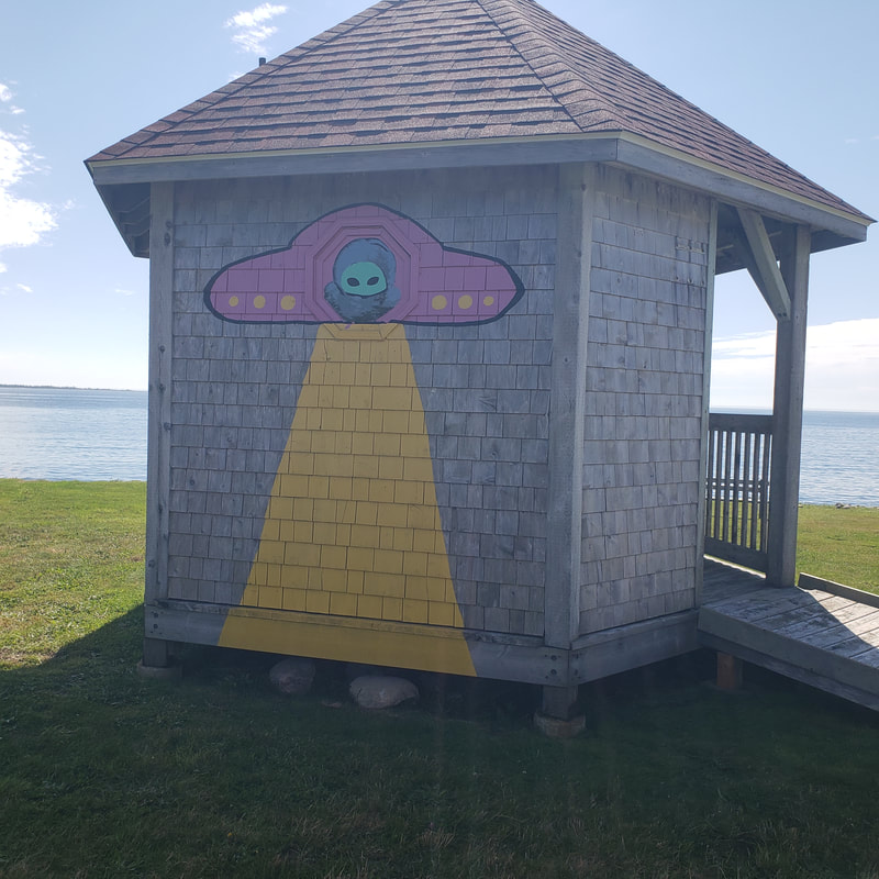
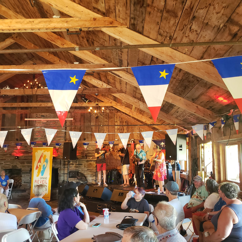
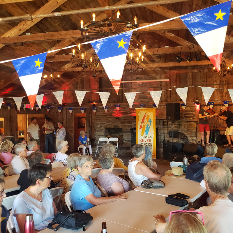
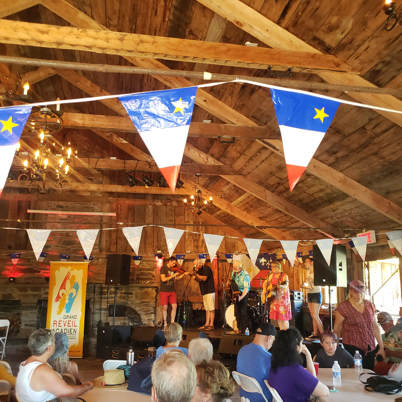
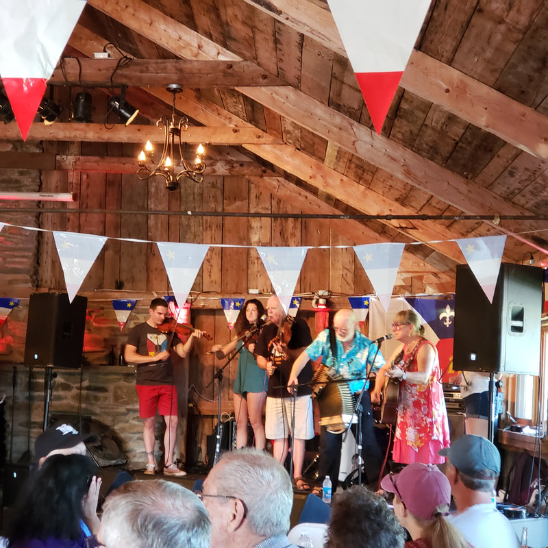
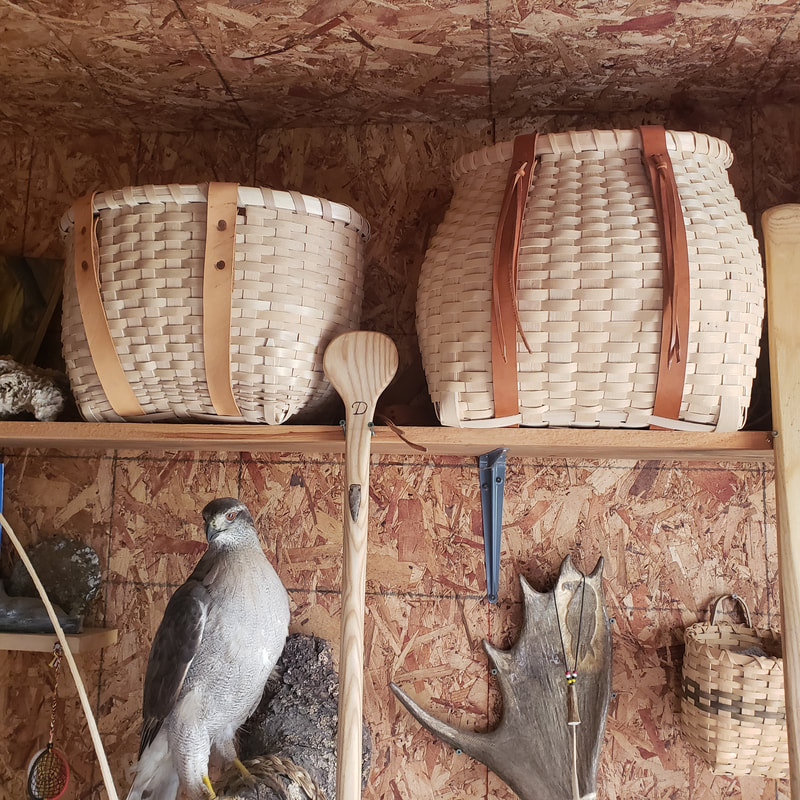
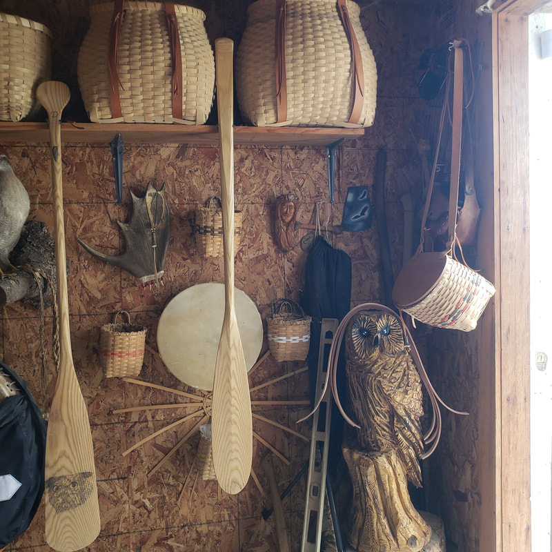
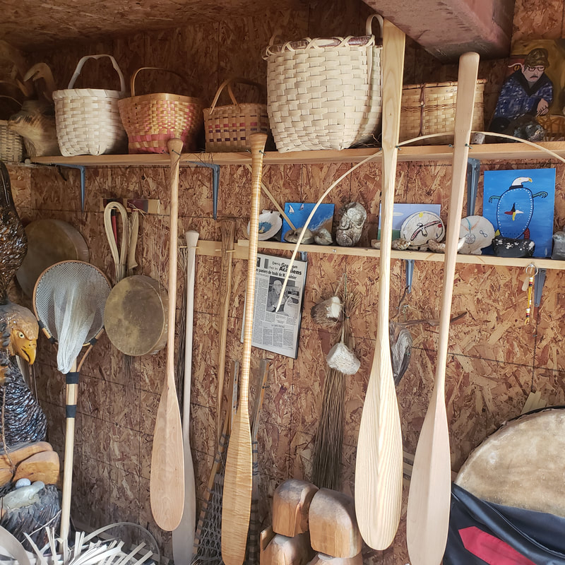
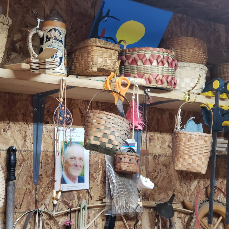
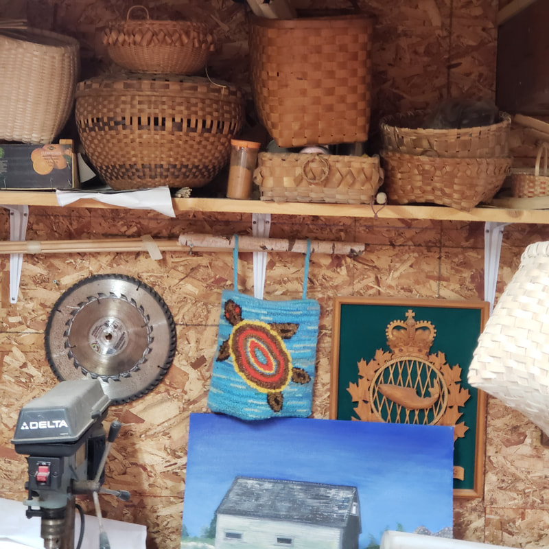
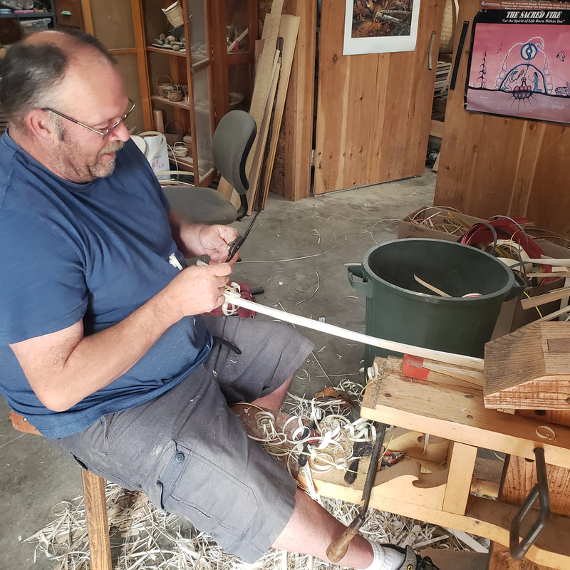
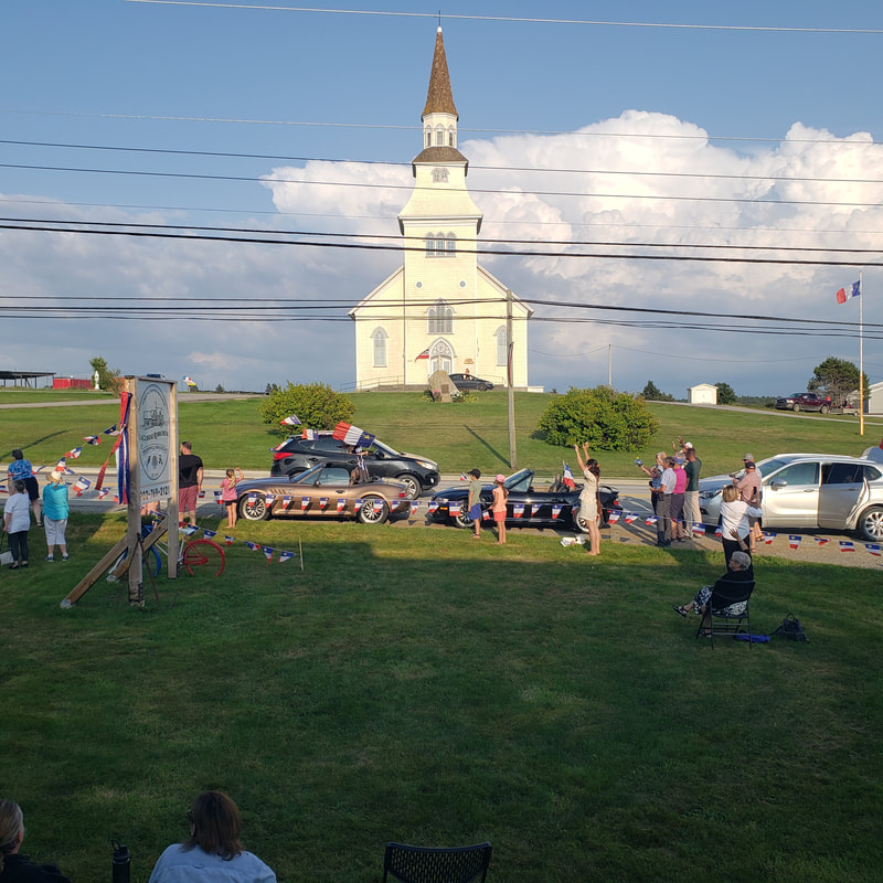
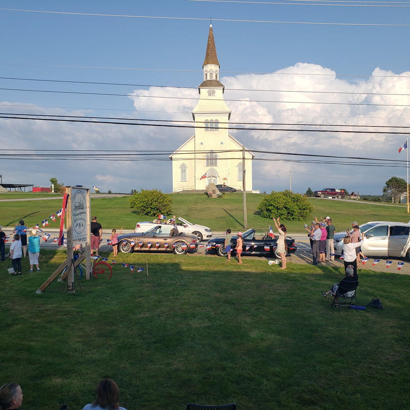
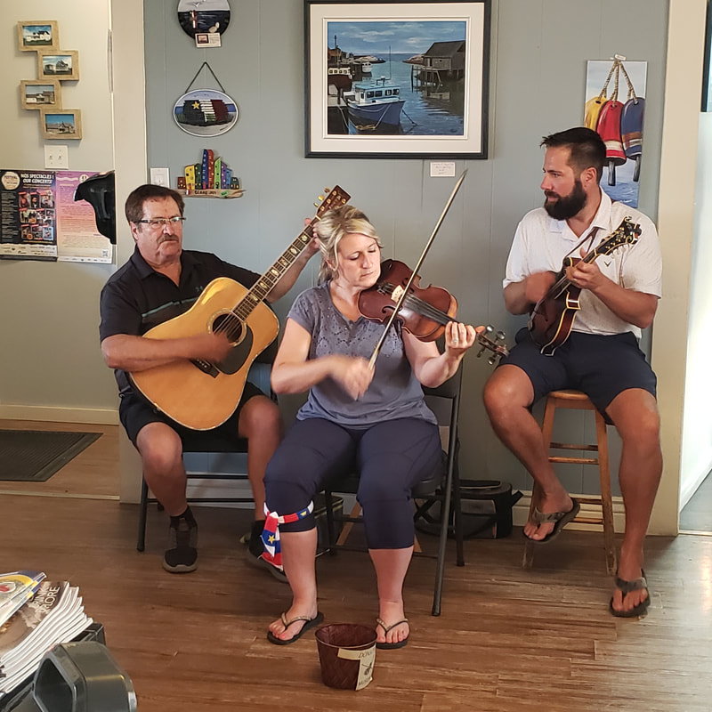
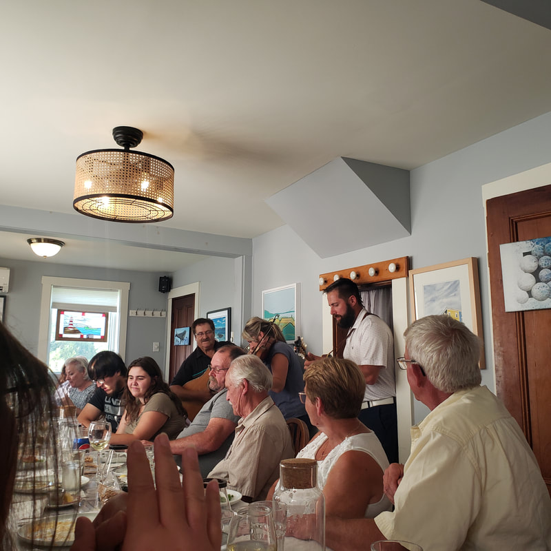
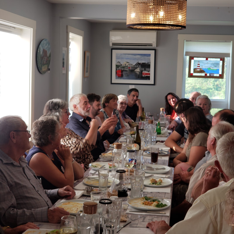
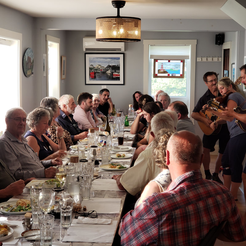
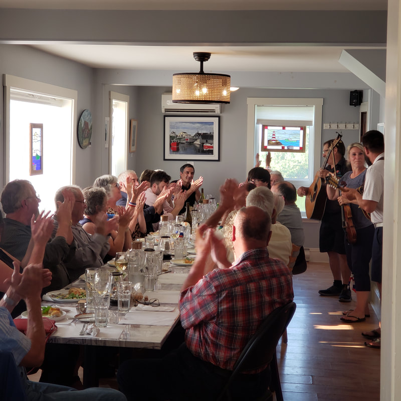
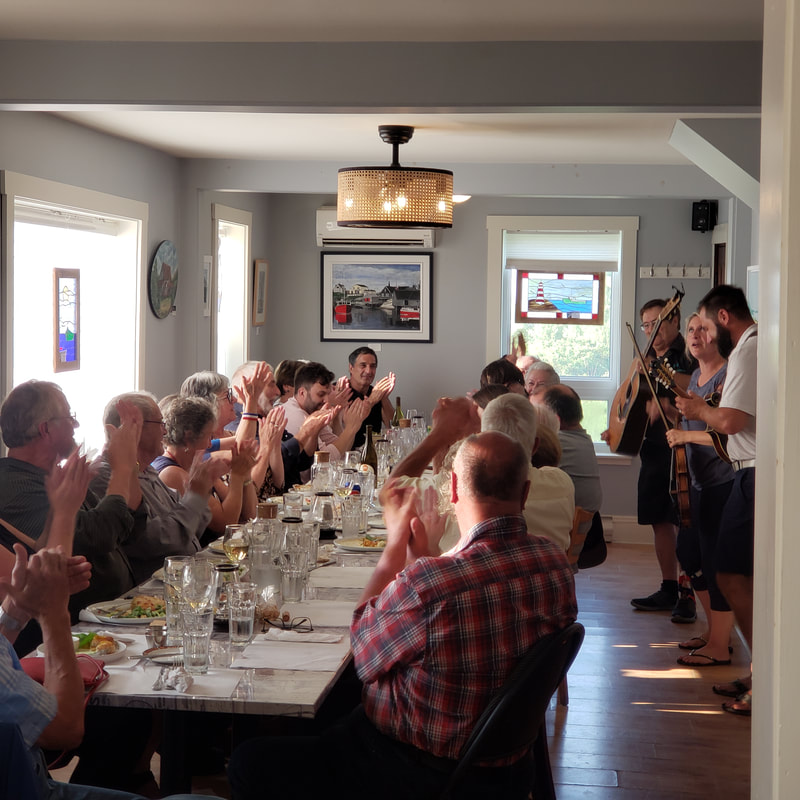
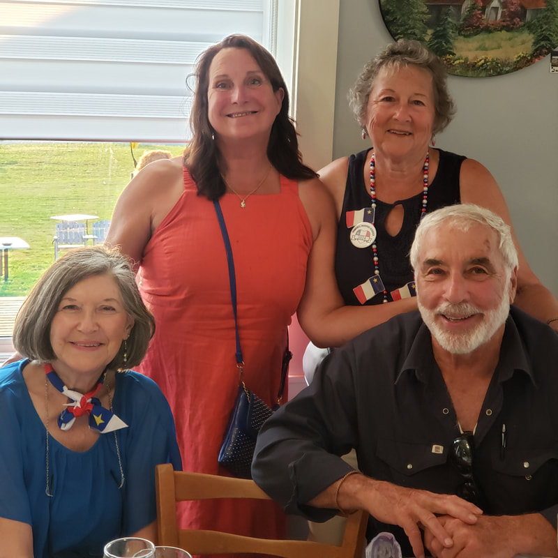
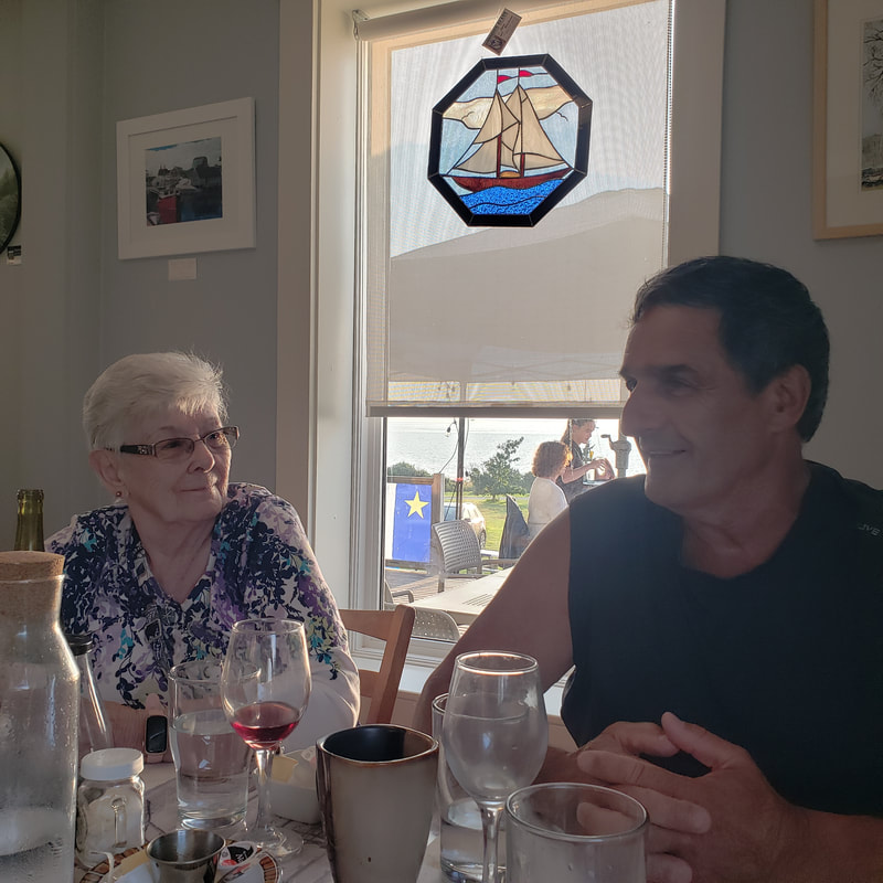
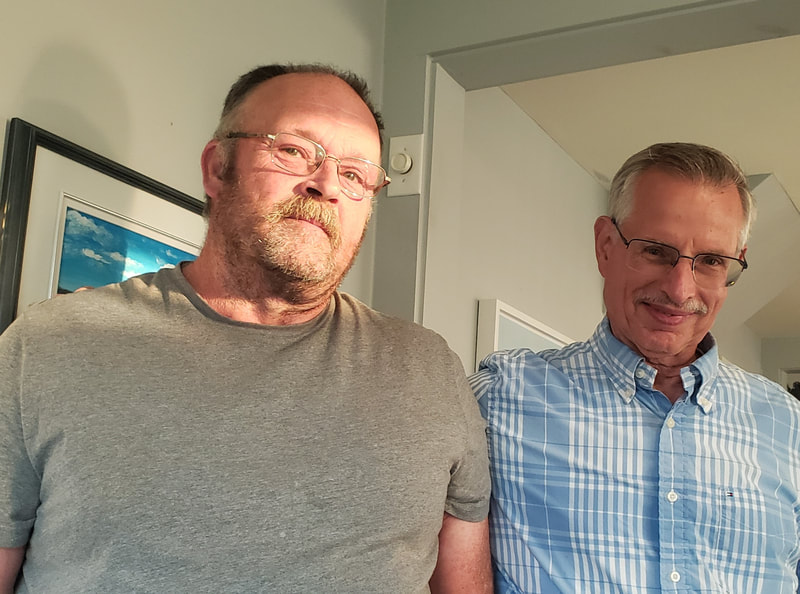
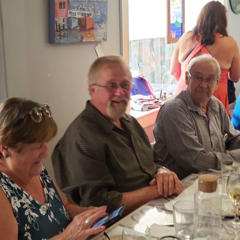
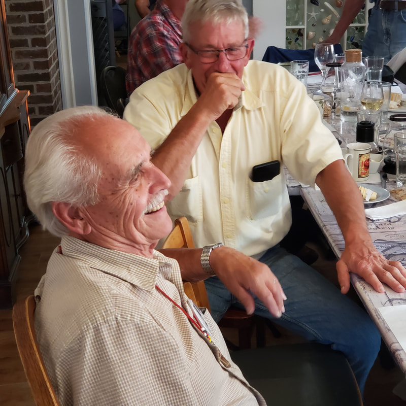
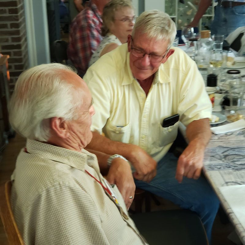
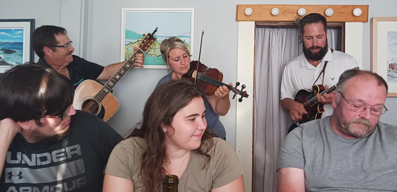
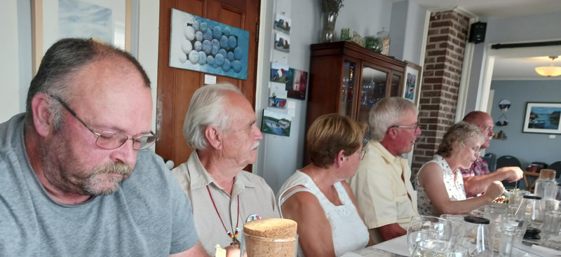
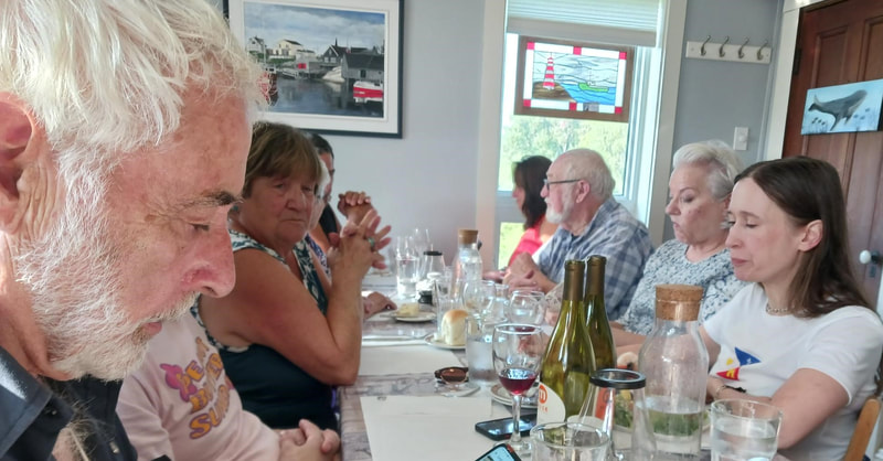
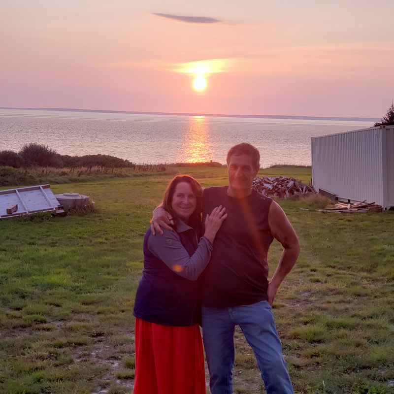
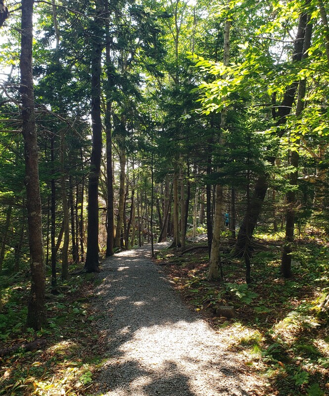
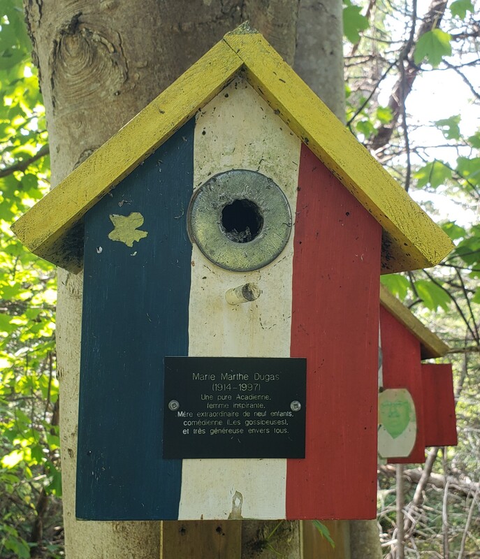
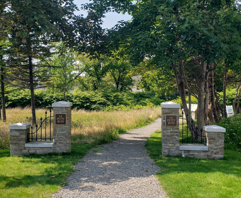
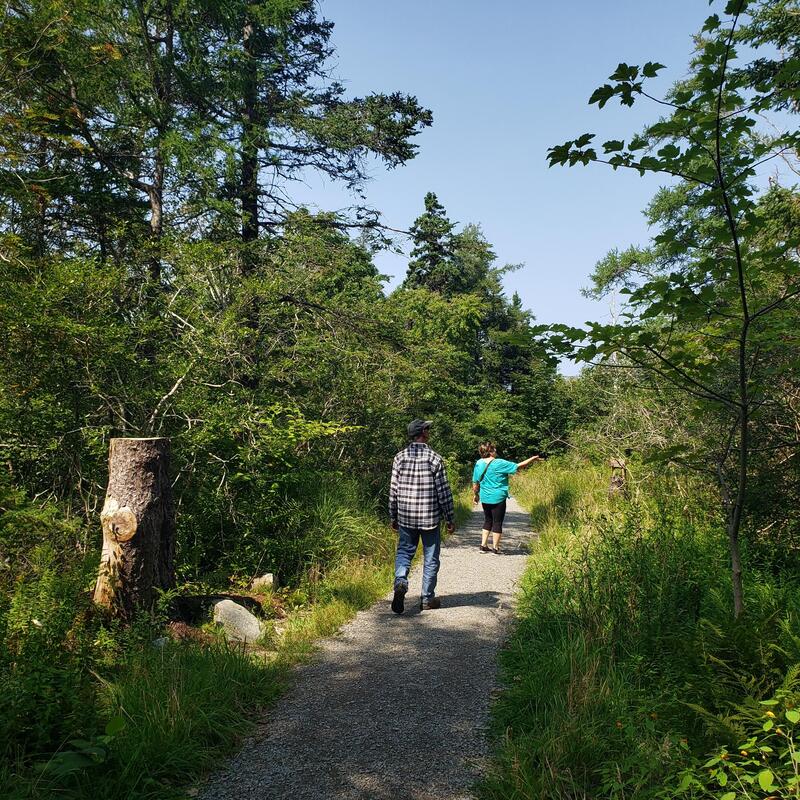
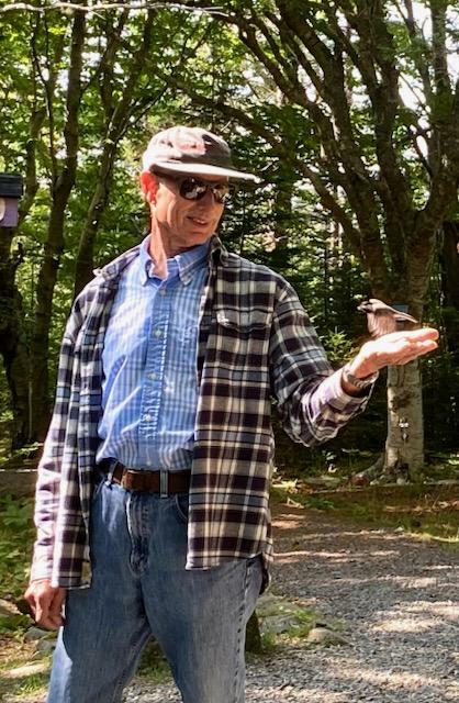
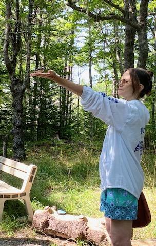
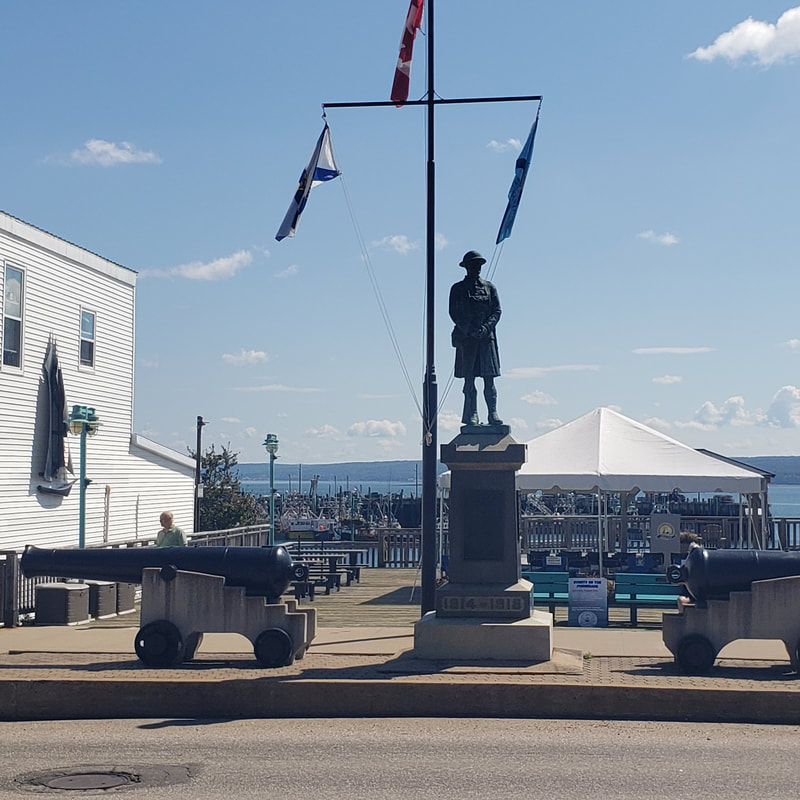
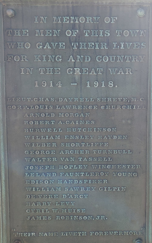
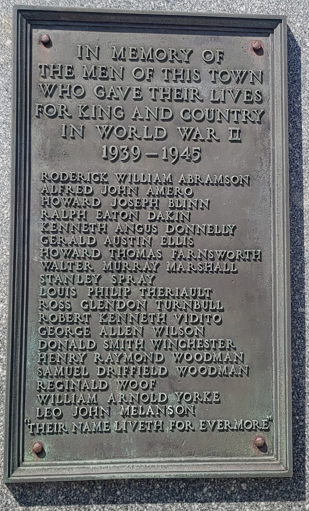
Description: Kevin Rees, of Acadian/Cajun ancestry, tells "Marie," who creates videos for "Frenchtastic Explorations," about how learning and speaking the French Language is central to his culture and history during her visit to the Vermilionville Historic Village in Lafayette, Louisiana, on November 6, 2024. Note: English-language subtitles are provided. Kevin (speaking Cajun French/French all the while) shares personal experiences and family stories about the perils of speaking French when he was going to school, talks about his work with The French Table, and plays the accordion! The Acadian World Congress is a huge cultural event that mixes history, genealogy, and culture, with art, entertainment, music, and dancing, and thousands of people with Acadian surnames in their lines attend. It is not unusual for someone to hand you a printed copy of a genealogy with an entire surname line documented. Well, that's one way of finding out if you're related - on the spot! The Congress, which is held every five years, took place in Nova Scotia in 2024. While culture, history, and heritage factored in the formal programming, and many were eager to share what they knew of their surnames and family lines with friends and relatives there, the Congrès 2024 main attraction, as I observed, was, simply put, "to have a whole lot of fun." And there was a whole lot of fun to be had all around: Whether you were sampling the regional cuisine, learning how to speak Acadian French from a local, or dancing to the irresistible beat of an Acadian - Cajun band, a delightful experience for all was almost guaranteed. Thousands of Acadian diaspora who attended the Congrès partied non-stop, day and night, all week long, and we were delighted to be a part of it all! Adding to the mix, there were other events of our own making -- including an excursion to Mavillette Beach, dinner at Robichaud's, a quick visit to the mysterious Shag Harbor, a walk through the magical "Le Petit Bois" with Mrs. Theriault, a cook-out at Hectanooga, a visit to a War Memorial in Digby, and crafting and conversation with the Thimots. One of the highlights of our week was attending the Louisiana Cajun music / dancing /and a taste of Gumbo party at Le Richelieu, hosted by Brenda and Ray Trahan. How about that Les Amis du Teche Cajun band? They got everyone out on the floor! The photos and stories shared here capture only a part of the Congrès mondial acadien 2024 international celebration. All in all, we were extremely grateful to have been able to be a part of the events, meetings, dinners, suppers, morning, afternoon, and evening coffees, cook-outs, and reunions we had with our dearest friends and family. So many of us who attended were able to bring our grown children into the mix as well (they are our next generation) and I am so very thankful that they were able to make the trip to Nova Scotia to meet with one another! Memories were made and friendships were forged that week that will last a lifetime -- and, if we're lucky, maybe beyond! In closing, I give a "Grand Merci" to our hosts the Theriaults, to our friends, and to our big, huge, extended family who made our stay in Southwestern Nova Scotia a joy and a delight. You made us all feel truly "at home." ... And now for the photos and just a few stories: After crossing the US-Canadian border at Calais, we stayed the night at a delightful camp in Sussex, New Brunswick. The next morning, we drove the camper into Saint John where we took the ferry to Digby, Nova Scotia -- the "Scallop Capital of the World!" After spending the day in meetings on the 10th of August, we boarded a specially chartered shuttle bus, checked in at the gate, and made our way to the CMA opening ceremonies at Sainte-Anne's. The atmosphere was charged with anticipation as crowds gathered, with more than a few sporting CMA 2024 hats, tee-shirts, and Acadian bling. This was the start of the first CMA in the Clare, Argyle, and Yarmouth area in twenty years! Hurricane Debby brought high wind gusts and pounding rain only hours before, causing cancellations and delaying flights into the region, but by the time the opening program got underway, at about 6 p.m. on Saturday evening, only a little bit of drizzle remained in the area. Aside from the one night when Hurricane Debby passed through the area, and I worried our camper would take flight with us inside (it didn't!), we enjoyed spectacularly beautiful weather while camping on Baie Sainte Marie (St. Mary's Bay) and during our stops at Shag Harbour and Mavillette Beach. Shag Harbour is an amazing place with an incredible story involving a UFO that crashed into the water there. If you know someone in the area, ask them to take you to Shag Harbour. If you're lucky, they may tell you a little bit more about what happened that night, and who was involved, than what you may read on the signs. The museum is a must-to-visit as well. No trip to Nova Scotia is complete without a stop at the mystical Shag Harbour in Barrington (at least in my opinion!) We enjoyed a taste of home-made gumbo, and danced to live, Cajun music at the Louisiana party at Le Richelieu, held on Monday night, August 12th. Mostly women danced there because the venue was at capacity, and the men had to hold on to their seats! Adding to the exchange of heritage and culture, the Thimots hosted us for a day of crafting and conversation. Here, Daniel shares what's inside of his own, personal DNA. We gathered together with a mix of friends and cousins for dinner, music, and general celebration at La Cuisine Robicheau's (aka "Robicheau's) on the the evening of Tintamarre (August 15th) -- a time when Acadians make a whole lot of noise! We all cheered as vehicle after vehicle, each festooned with Acadian colors and honking their horns, passed by. One afternoon at Le Petit Bois, guided by Mrs. Theriault, we followed one pathway and then another through a peaceful, wooded glade near Sainte-Anne's Campus. If you are very patient, quiet, and calm, you may be able to feed the birds there, as we did, right from the palm of your hand! We end our "petite partie" with a visit to the World War Memorial in Digby, Nova Scotia, erected in honor of Canadian servicemen who fought in World War I, World War II, and in Korea. Acadian genealogists may note Acadian surnames as they appear on both the World War I and World War II memorial plaques. September 3, 2024: Just added several photos contributed by friends and cousins to my "Une Petite Partie" blog since posting about a week ago. Also mentioned the name of the must-visit restaurant where we gathered on the 15th of August: La Cuisine Robicheau's (aka "Robicheau's).
During our last trip to Montana a few years ago, I was singularly focused on writing my book, Dance of Life: Ancient Peoples, the Animals, and Us (2022). Every stop my husband Ed and I made during that carefully planned trek was selected for its significance to a people, their history and culture -- and every item of information gathered became a part of my research. Notebooks full of scribbled observations, stacks of books, the photos and the references I gathered at each stop we made along the way, reminded me of that first trip to Montana, and having a published book in hand certainly proved it had indeed happened. Still, my heart told me that we needed to go west again - to visit new places we had missed, and collect a few more memories of others so fondly remembered. And so, as my heart would not be denied, we packed up our camper, plotted our course, set the compass for due west, and headed out on the road. Here are some of the highlights of our journey: Starting Out in Virginia At our first stop at a camp in Virginia, Ed e-mailed friends in Wyoming to let them know were heading in their direction. Internet service, even in remote places, has vastly improved since we first started camping, and we had little problem staying connected with friends, family, and activities, during our month-long journey across the United States. Just Outside of St. Louis, Illinois We had a clear view of the skyline as we navigated the the highways outside of St. Louis, Illinois. The iconic "Gateway Arch" is on the left. At the Cahokia Mounds State Historic Site, National Historic Landmark, and UNESCO World Heritage Site in Illinois We camped near the Cahokia Mounds State Historic Site, National Historic Landmark, and UNESCO World Heritage Site in Illinois. Cahokia is the largest pre-Columbian Indian settlement north of Mexico and covers 6 square miles. The population reached its peak from 1050-1150 AD, numbering from 10 to 20,000. See: https://whc.unesco.org/en/list/198/ Few were visiting the Cahokia mounds on the morning of our first visit there, and we met mostly local people while walking up and down the stairs. A State Park representative stopped by and answered our questions while we were there which was particularly helpful as the Museum was closed at the time and was in the process of being remodeled. In Salina, Kansas I started it ... so, you finish the rest. After leaving Illinois, we camped for the night in Salina, Kansas, which is located dead-center in the middle of "Tornado Alley." Remember Dorothy. Visiting Friends in Laramie, Wyoming After we crossed into Wyoming, we parked our camper and spent a pleasant afternoon in Laramie with a couple we knew from "back East." It was fortunate that the route we planned to take into Wyoming passed through Laramie, and made it possible for us to see our buddies again. After enjoying a meal together, we toured the town and stopped into some of Laramie's distinctive museums, book stores, bicycle shops, and boutiques, and I was able to snap photos of some of the places that our friends particularly wanted us to see. Our friends also shared with us some of Laramie's remarkable history (which can be found on the Visit Laramie website) and then treated us to some spectacular ice-cream before we rolled out of town. Hiking at Independence Rock, Wyoming While still in Wyoming, at the Independence Rock State Historic Site, we took a break from the road and hiked the footpaths there. I came to find that the routes I mapped-out for our journey west often followed the same trails as used by the settlers, and the Native Americans, fur trappers and game animals who preceded them. So, by driving the state roads and highways, visiting landmarks like Independence Rock, and hiking the trails around them, we developed a sense of the endless expanses of plains, hugely proportioned geologic formations such as Independence Rock, and the challenging and sometimes hazardous environmental conditions encountered by west-bound travelers who came before us. See: https://www.nps.gov/places/000/independence-rock-state-historic-site.htm At Little Bighorn Battlefield National Monument near Crow Agency, Montana We camped a little less than a half an hour away from the Little Bighorn Battlefield National Monument near Crow Agency, Montana. The Memorial was once called the "Custer Battlefield" but was later renamed in honor of the 7th Calvary and the Native Americans who fought and died there. Rain fell as we approached the site, and darkening clouds overhead signaled there would be more rain and thunderstorms to follow. The grim sadness I felt while surveying the stones that honored the dead warriors on both sides, and marked where they fell, was overwhelming and for all of the knowledge scholars and historians have put together about the battle, the opposing perspectives, and the unconscionable premise for the war that was waged, I believe it may never be possible to comprehend the scale of human devastation and loss experienced that day. Unbeknownst to me until I visited the site was that some of the Crow, caught up in their own territorial disputes, fought on the side of Custer and his army. In a photo I took while visiting the site, you may observe the name of one of them, engraved on a stone: "Goes Ahead," a scout. At the Headwaters of the Missouri River Following in the footsteps of Lewis and Clark, we camped at Three Forks, near the confluence of the Missouri, Madison, and Jefferson Rivers. Algonquin in origin, the name "Missouri" dates back to a journal kept by French explorer Jacques Marquette, and has been attributed to Native Americans who lived in the area, for whom the name meant people with canoes made of logs, A 1673 map of the Mississippi River and its tributaries signifies its earliest known reference. A few of the interpretive signs that had once graced the banks of the river were no longer standing when we visited the headwaters of the Missouri, as the river had been restored to its natural, untamed flow, and the signs had been washed away. Despite the cold, wet weather we had that day, locals came from miles around to walk along the river. Some brought their dogs along with them, and for many, a contemplative stroll along the muddy riverbanks was a daily ritual. The large white birds lining the sandbar in the middle of the river are pelicans. At the CSKT Bison Range Montana One of the best decisions we made was to camp near the CSKT Bison Range in Moiese, Montana, which is fully owned and managed by the Confederated Salish and Kootenai Tribe (CSKT). Having camped close by, we arrived at the CSKT Bison Range while it was still early in the day, and there was little traffic there -- aside from a busload of local school children who had come to attend a wildlife presentation at the center. I must admit, I enjoyed listening in to the presentation for just a little while and was impressed by the children's ready knowledge of wild animals, and game in general, judging by how quickly, accurately, and avidly they answered the presenter's questions. As we drove slowly, and ever watchfully, along a two-way dirt and gravel road that traversed the range, we passed small groups of older bison, some standing, and others sitting in grassy areas, and then, just after we rounded a curve in the road, we came upon a whole herd of bison, including bulls, cows, and calves, amassed on both sides of the road, and some ambled directly in front of our camper. We gave them all wide berth, and I was able to snap several photographs without ever leaving the camper. Watching the bison who surrounded us, and who crossed streams freely and unencumbered, I experienced a sense of pride in the fact that the bison living on the range were a part of a living legacy that began in the late1800s, when the bison of the great American plains had been driven to near-extinction. It was at that time that the Tribe started a Reservation herd, and the bulls, cows, and calves that I observed during my visit, who appeared to flourish undisturbed in their natural setting, are the living descendants of that original group. After we left the bison range, In my mind's eye, the highway we were driving on melted away, along with the guard rails, fence posts, and mile markers, and I envisioned thousands of bison, thundering across a wide expanse of undeveloped prairie lands in massive herds -- as there were in North America at one time. Scenes from Flathead Lake in Montana which was near where we camped for the night At Glacier National Park (West Entrance) We camped outside of Glacier National Park, near the West Entrance. We e-biked into the park from our camp, then navigated the miles of trails through the park's interior, and ended our tour at the Apgar Visitor's Center. We arrived at Glacier Park early in the season, and learned soon after that the Road to the Sun was closed after Avalanche due to snowfall. Here I am saying "good-bye" to Glacier Park, Montana during our last night at camp. It's hard to believe that this photo was taken at what was considered "nighttime" by normal standards. When we were there in early June, the sun didn't begin to set until a little after 9:30 p.m., and so, one day was a little over sixteen hours long. With so many hours in the day, we found plenty of opportunities for hiking, biking, taking photographs, and other adventures. You can always sleep after you get home, right? Natural Bridge Falls Picnic Area Big Timber, Montana In Big Timber, we stopped to hike the trails near the site of an ancient, limestone formation, called a "natural bridge." After its collapse in 1988, due to erosion, the "natural bridge" is now in the process of reforming from the water flowing underground. The "lions head" mountain in the background, adds to the natural beauty of the place. Medicine Wheel Medicine Mountain National Historic Landmark On the way to our camp in the Big Horn Mountains of Wyoming, we navigated a long and winding road, with lots of switchbacks, to the Medicine Wheel Medicine Mountain National Historic Landmark. The marker above gives some information about it, but simply stated, since time immemorial, Medicine Wheel has been, and is to this day, a sacred place of great significance to Native Americans, located at the top of a mountain, high above the clouds. A journey to Medicine Wheel is difficult and may be somewhat perilous (especially if the weather is not favorable), and tires with good traction, and reliable breaks that can handle steep grades are an absolute necessity. The gravel road to the landmark may be uneven in places, and commercial vehicles may not trespass there. Medicine Wheel, at 9,640 feet in elevation, requires a deliberate and respectful approach, on foot, using designated paths, to the stone formations comprising the National Historic Landmark. It is a place for introspection and quiet contemplation, and Native Americans offer prayers there. It is not a place to take photographs, in my opinion, and the use of drone technologies is strictly forbidden. Devils Tower, Wyoming We camped in the shadow of Devils Tower (with no apostrophe before the "s"), called, originally, Bear Lodge or Bears Lodge, by Native Americans in the area. During the entire time we spent in the area, the ancient "mammoth rock obelisk" (to quote the sign below) loomed large against the horizon, filling my field of vision as its cone-shaped peak jutted into the blue Wyoming skies overhead. It is important to note that Devils Tower was and is a sacred site since time immemorial. Native Americans offer prayers there from time to time. In my opinion, prayer offerings should not be photographed and I have not done so. Devils Tower was omnipresent while we camped nearby: Shining gold and yellow in the sunlight, it greeted us in the morning when we awoke, and then, its deep blue silhouette, outlined against a darkening sky was the last thing we saw at night, before we went to sleep. Because Devils Tower was close to our camp, and the maps of the area showed there were a number of well-established trails that led up to its base, instead of driving in, we decided to make the ascent on foot -- an 8-mile hike there and back. To help provide context for the photographs that follow, I've included pictures of a couple of signs from the area. There are other signs that have been placed by the park along the base of Devils Tower. Rather than hard facts, these signs offer snippets of poetry, quotations, and imagery that speak to the senses, and should, in my opinion, be experienced, rather than photographed, by those who have made the ascent and hike along the Tower's base. Dignity of Earth and Sky On the way back home from our Montana journey, when we were passing through South Dakota, we made one last stop -- to visit the world-renowned sculpture of "Dignity."
During our last trip out west a few years ago, we had stopped to visit Dignity, but the weather was terrible, the rain relentless, and the photos I took of her on that cold, dreary day did not do her justice. I vowed that I would return and try to take her photo again. So, it came to pass that on a sunny day in late June, when we were nearing the end of our Montana journey, we made our way back to Dignity once more. This time, the weather cooperated, and the photos I took of her that day captured her awe-inspiring beauty and spirit. I believe that Dignity's larger-than-life sculpture, rising into the skies above South Dakota, and casting its shadow on the plains, mirrors the awe-inspiring beauty and spirit we experienced during our journey west and expresses our gratitude for the peaceful and positive interactions of the "earth, sky, and peoples," around us. We are all related. And now, I leave you -- with Dignity. -- Marie Rundquist, July 2023 So pleased to have been invited to present at Freedom Day 2019 and share the story of Acadian exiles who arrived in Lower Marlboro, and other port towns in Maryland in November of 1755. We had a picture-perfect fall day, a wonderful turn-out and it was a pleasure to be a part of this beautiful event in Calvert County, Maryland. So delighted to have received such wonderful feedback from so many who attended my presentation at Freedom Day 2019. I've received permission from the sender to reprint these very kind words:
October 6, 2019 "Dear Marie, I really appreciated your presentation at Lower Marlboro yesterday. It was all very new information to me and quite fascinating - especially your work of connecting the dots through DNA. For Lower Marlboro to have had a part in this story further confirms the degrees of separation theory. Our world keeps shrinking, bringing us all closer together, quicker! I bought both of your books and look forward to reading them. Thank you for your devotion to the subject and sharing your history and your technique for uncovering it! Sincerely, --J.K. (Maryland)" |
Archives
June 2025
Categories
All
|
DNA-Genealogy-History.com Site Index:
Copyright 2025 Marie Rundquist., DNA Genealogy History, LLC
DNA Genealogy History, LLC is a registered S Corporation with the State of Virginia and the Federal Government since 2017, is a retailer and distributor of books and digital publications, and is certified, authorized and empowered to collect Sales and Use Tax for the Commonwealth of Virginia.
E-Mail Your Comments to [email protected]
This website is not intended for users located within the European Economic Area.











 RSS Feed
